Things to Do in San Francisco Between World Cup 2026 Games: Beyond the Bay and Into Northern California
Things to do in San Francisco between World Cup 2026 games extend well past the Golden Gate Bridge and the trolley cars. Levi’s Stadium in Santa Clara hosts 6 matches during the tournament, including Argentina vs Nigeria on June 14, England vs Colombia on June 23 and a Quarterfinal on July 9.
The stadium sits in the South Bay, 45 miles from San Francisco proper, which means World Cup fans based in the city have a genuine question to answer about where to stay and how to move between them. This guide covers both the logistics and what to do with the days in between.
The Bay Area in June and July operates under what locals call Karl the Fog, a marine layer that rolls in from the Pacific in the evenings and burns off by midmorning, leaving clear afternoons that rarely exceed 20 degrees Celsius in the city itself. It is one of the most temperate climates in the world for summer travel: cool enough for walking all day, warm enough for everything else. The wine country starts 45 minutes north. The redwoods start 30 minutes south. The Pacific coastline runs for miles in both directions without a crowd. The city itself contains more distinct neighborhoods per square mile than almost anywhere in the country.
Getting to Levi’s Stadium
Levi’s Stadium sits at 4900 Marie P DeBartolo Way in Santa Clara. On match days, Caltrain runs enhanced service from San Francisco’s 4th and King Station to Santa Clara Station, a short walk from the venue entrance. Journey time from San Francisco is approximately 55 minutes; from San Jose, 10 minutes. A Caltrain day pass costs $20 and covers unlimited rides on match day. Book at caltrain.com.
VTA Light Rail also connects to the stadium from downtown San Jose and the surrounding South Bay on match days. For fans staying in San Jose, this is the most direct option.
Driving from San Francisco to Santa Clara on the US-101 takes 45 minutes in normal traffic and considerably longer on match days when 70,000 fans converge on the same corridor. Transit is the correct choice.
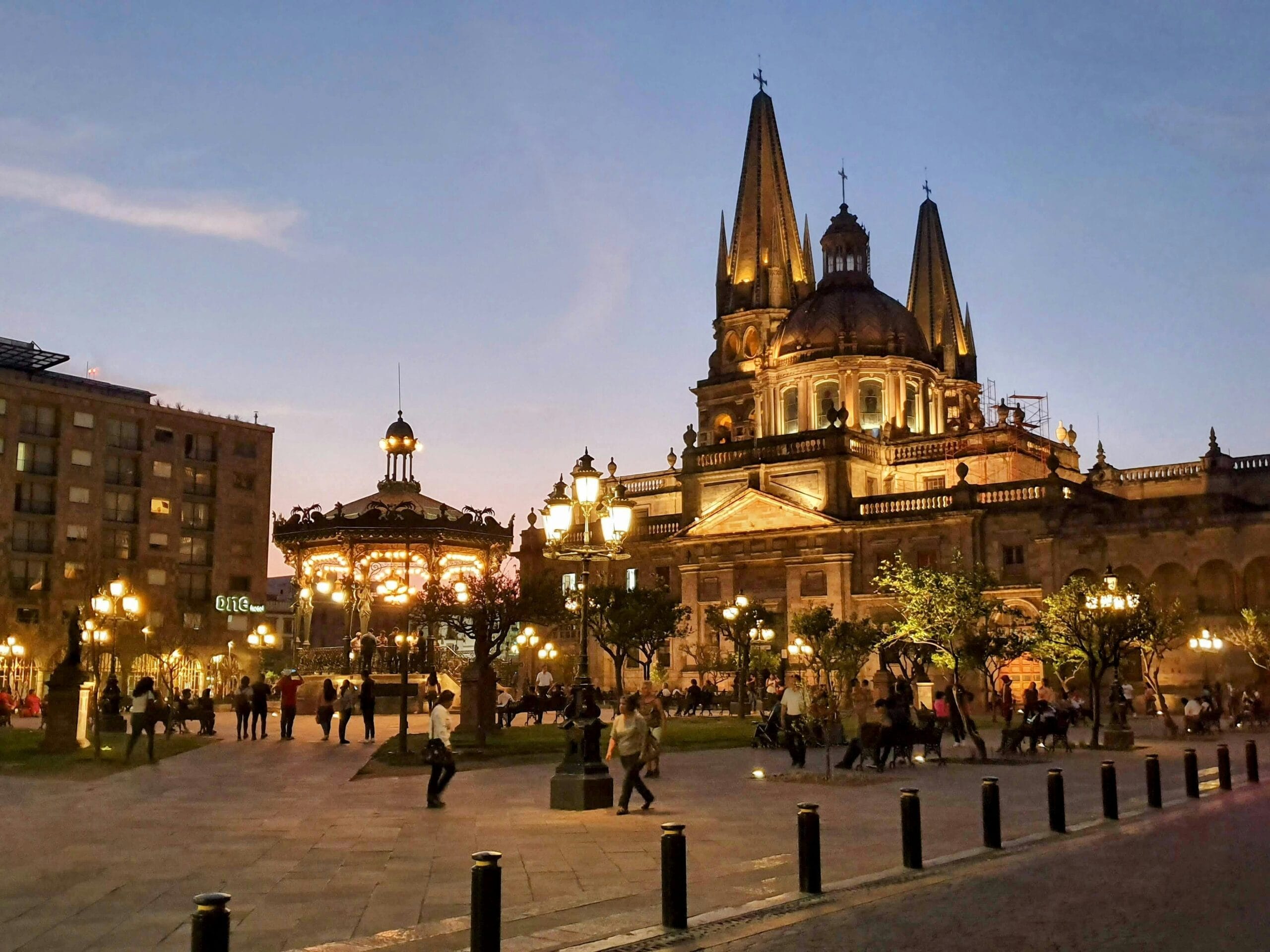
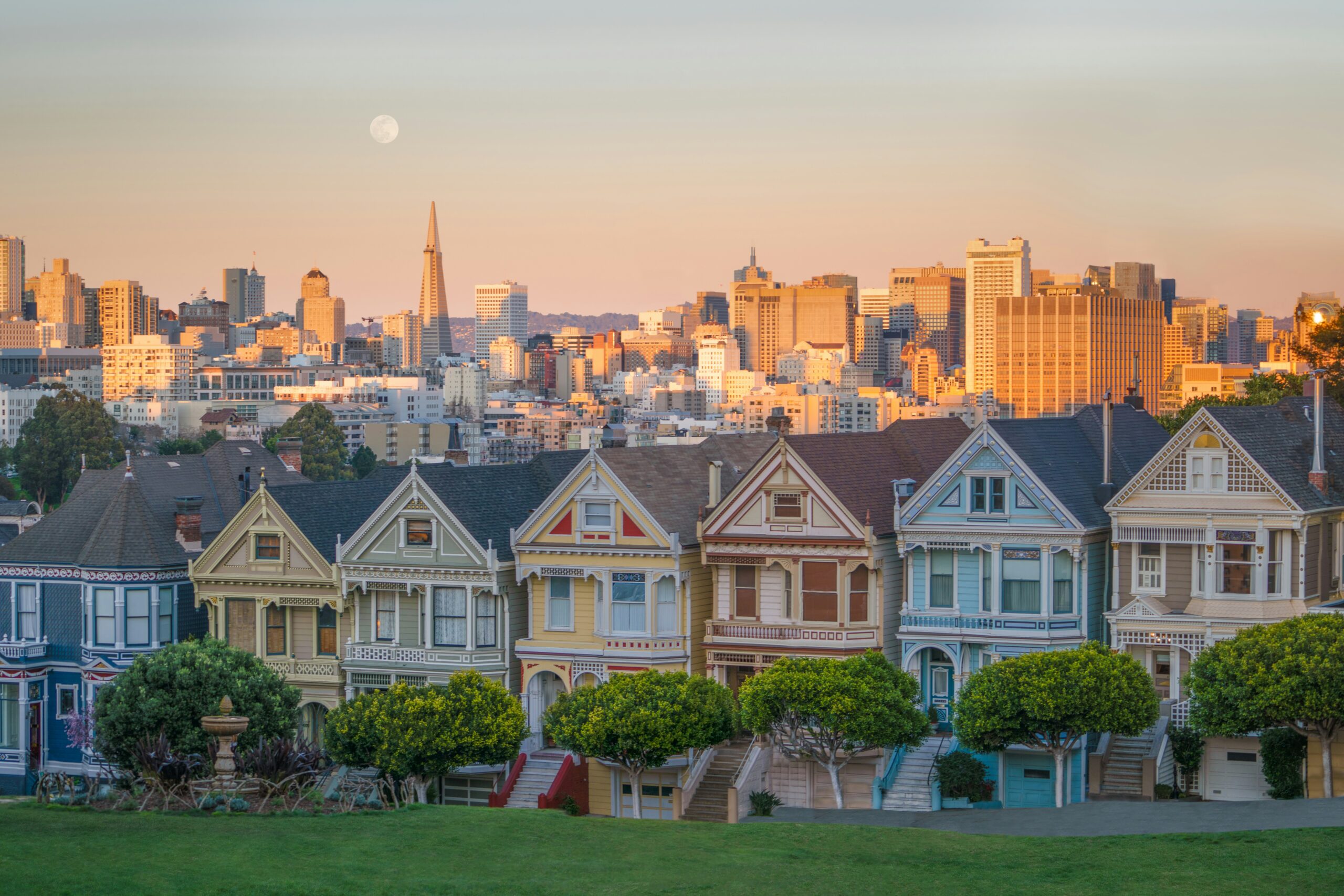
San Francisco: The Neighborhoods That Matter
San Francisco covers 47 square miles and holds distinct neighborhoods that could each occupy a full day without repetition.
The Mission District along 24th Street and Valencia Street is the city’s Latino cultural heart and its most concentrated food neighborhood. Tartine Manufactory on Alabama Street is the bakery that changed American bread culture when Chad Robertson opened the original Tartine on Guerrero Street in 2002; the Manufactory is the expanded version with a full restaurant, coffee bar and grain program.
La Palma Mexicatessen on 24th Street has been making fresh tortillas and tamales from the same corner since 1953. The murals along Balmy Alley, a narrow lane off 24th Street, cover 30 years of political and community art in a format that predates the Wynwood Walls by two decades.
The Tenderloin is the neighborhood most travel guides skip and most visitors avoid. That avoidance produces a missed opportunity. The Tenderloin holds the city’s most concentrated Southeast Asian food corridor, along Larkin Street and Eddy Street, where Vietnamese, Cambodian, Thai and Burmese restaurants operate at prices that belong to a different city than the rest of San Francisco.
Turtle Tower on Larkin Street serves pho ga (chicken pho) that has been the reference standard for the city’s Vietnamese community for over twenty years. Shalimar on Jones Street produces Pakistani lamb karahi and biryani in a cash-only dining room with a queue that says everything necessary.
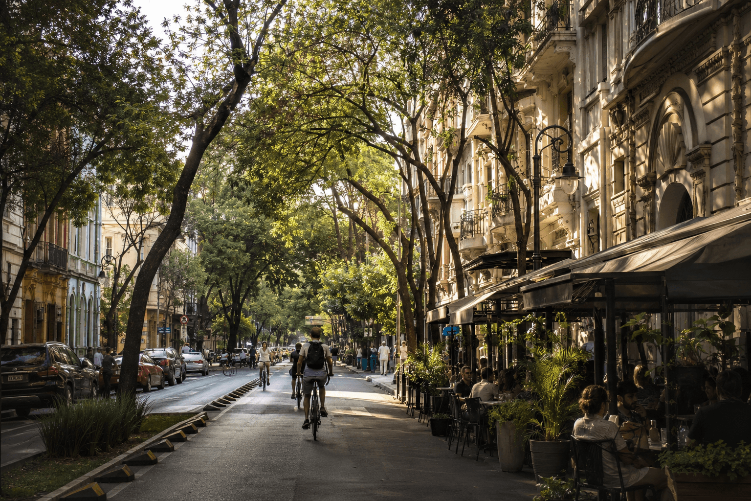
Hayes Valley, west of City Hall, is the neighborhood that emerged from the removal of a freeway elevated structure after the 1989 earthquake and now holds the city’s most walkable concentration of independent boutiques, wine bars and restaurants in a six-block radius. Anker on Gough Street and Rich Table on Gough Street bookend the strip for serious dinner options.
The Sunset District, the residential neighborhood running from Golden Gate Park to the Pacific Ocean, is where the city’s Chinese-American and Irish-American communities built their domestic lives over the last century. Irving Street is the commercial spine: dim sum at a neighborhood restaurant that has no Yelp profile, Vietnamese coffee at a café that has been there for 30 years, a bookshop that sells used paperbacks next to a pharmacy that has been family-run for three generations. It is what a neighborhood looks like when tourism hasn’t reached it yet.
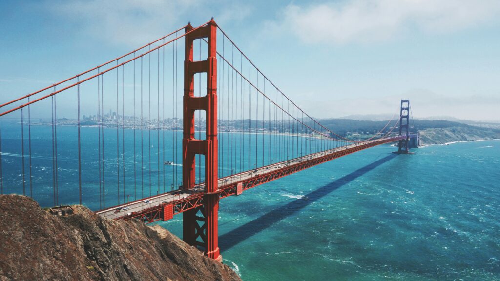
Day Trip: Muir Woods and the Marin Headlands
Cross the Golden Gate Bridge north into Marin County and the city releases its grip almost immediately.
Muir Woods National Monument, 12 miles north of the bridge, protects a valley of old-growth coastal redwoods, some over 1,000 years old and 260 feet tall. The park is small enough to cover thoroughly in two hours on the main loop trails, but large enough that the Cathedral Grove section, where the largest trees grow in a stand dense enough to block the sky, requires no hiking ability and no planning beyond arriving before 10am. A shuttle from Sausalito runs on weekends during summer for $5 each way; booking is required at recreation.gov. Parking at the monument itself is permit-only and sells out weeks ahead; the shuttle is the practical option.
The Marin Headlands, the coastal bluffs immediately north of the Golden Gate Bridge, offer the most commonly photographed view of the bridge from above, plus miles of hiking trails through GGNRA land, a historic Nike missile site open for free tours on weekends, and the Point Bonita Lighthouse at the end of a coastal trail with the Pacific crashing below.
Day Trip: Napa Valley and Sonoma
Wine country starts 45 minutes north of San Francisco on the US-101 or CA-37 and covers two distinct regions that operate with different characters.
Napa Valley runs narrow and formal: a single road, the Silverado Trail and Highway 29, lined with estate wineries that charge $50 to $150 for tasting experiences and require reservations. The valley produces some of the world’s best Cabernet Sauvignon and a visitor infrastructure designed to sell it efficiently. For fans with a genuine wine interest and the budget, it justifies itself. For everyone else, Sonoma is the better day.

Sonoma County is larger, more varied and considerably more relaxed. The town of Sonoma has a central plaza surrounded by mission-era buildings and family wineries pouring at prices that have not tracked Napa’s inflation. The Dry Creek Valley north of Healdsburg runs Zinfandel in a valley that feels agricultural rather than boutique. Sonomawinecountry.com lists current tasting room hours and reservation requirements.
Getting there without a car requires joining an organized wine tour from San Francisco, which costs $120 to $180 per person including transport. With a rental car from Rentalcars.com, the flexibility is complete. Designate a driver or use a private car service for the return trip.
Day Trip: Point Reyes National Seashore
Point Reyes sits 40 miles north of San Francisco on the Point Reyes Peninsula, a triangular wedge of land separated from the mainland by the San Andreas Fault. The peninsula moves northward at the same rate as the fault slip: during the 1906 earthquake, the western side moved 20 feet north in 47 seconds. The geography is unusual and the landscape reflects it.
The Point Reyes Lighthouse at the far western tip of the peninsula is a 308-step descent to a light station perched on a headland where Pacific storms arrive without warning and elephant seals winter on the beaches below. Whales are visible from the headland during migration season (December through April; late May still occasionally catches the tail end of northbound humpback migration). Tomales Bay, the long tidal inlet separating Point Reyes from the mainland, holds oyster farms that sell directly from dockside shacks at Hog Island Oyster Company on Marshall. Six oysters shucked to order and eaten with a squeeze of lemon at a picnic table above the water cost $20 and represent the most efficient luxury available within 90 minutes of San Francisco.
A rental car is required. The drive from San Francisco on US-101 north and then west on Sir Francis Drake Boulevard takes about 1 hour 15 minutes.
San Francisco Food Worth Finding
The city’s food scene is deep enough to occupy a separate guide. A few specific references for World Cup fans with limited time:
Dim sum: Yank Sing on Stevenson Street is the formal version, with carts and high-quality execution. Good Luck Dim Sum on Clement Street in the Richmond District is the local version: order from a paper checklist, sit at a shared table, pay $15 for a meal that takes 45 minutes.
Sourdough: Boudin Bakery on Fisherman’s Wharf serves the tourist-facing version. Tartine on Guerrero Street produces the serious version; arrive at 5pm when the afternoon bread comes out of the oven and accept the queue.
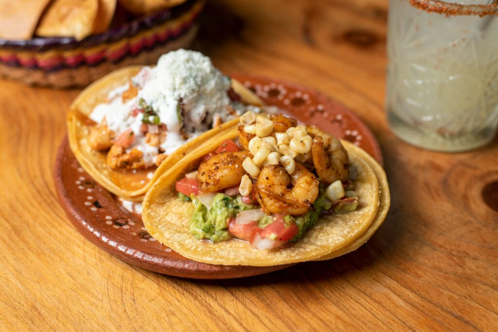
Tacos: La Taqueria on Mission Street has been named the best burrito in America by multiple publications over multiple decades. The line moves quickly. The burrito is unadorned and correct.
Ramen: Mensho Tokyo on Geary Boulevard produces the most technically sophisticated ramen in the city, with a queue that regularly runs 45 minutes. Nojo Ramen Tavern on Franklin Street is the practical alternative.
Practical Notes for World Cup Fans in the Bay Area
Where to stay: Staying in San Francisco gives access to the city’s neighborhoods and culture but requires the Caltrain commute to Levi’s Stadium. Staying in San Jose or Santa Clara puts you closer to the stadium but further from the city. For fans attending multiple matches, San Francisco is the better base for the off-days; San Jose for anyone prioritizing stadium proximity. Booking.com and Airbnb both have strong Bay Area inventory across both options.
Accommodation costs: San Francisco mid-range hotels run $280 to $380 per night during the tournament. San Jose runs noticeably lower at $180 to $260. Oakland, accessible by BART from San Francisco in 15 minutes at lower hotel rates, is the budget-conscious middle ground.
Getting around the city: BART covers the airport, downtown, the Mission, the Haight and Oakland. Muni Metro covers the inner neighborhoods. A Clipper card handles both at $2.50 per ride. For the Sunset District, the N Judah streetcar runs from downtown to Ocean Beach. Download Citymapper for real-time Bay Area transit alerts.
Weather: San Francisco in June and July averages 15 to 19 degrees Celsius in the city, which surprises most visitors arriving from summer climates. Bring a layer. The South Bay runs warmer at 22 to 28 degrees. Point Reyes and the Marin coast can be 8 to 10 degrees colder than the city with strong wind.
Connectivity: Airalo for US eSIM before arrival.
Plan Your Bay Area Days
The Traveneur Trip Planner builds a complete San Francisco itinerary around your travel style in two minutes. Budget Backpacker, Independent Traveler, Comfort Seeker or Adventure Traveler: the same region, entirely different trips.
The Bay Area That Takes More Than a Weekend
The Bay Area has been absorbing visitors for long enough that the postcard version of it, the cable cars, Alcatraz, the bridge at golden hour, is fully processed and slightly exhausted. What remains underneath it is a region of unusual ecological and cultural variety: a city of 49 square miles containing more distinct communities than most metropolitan areas ten times its size, surrounded by ocean, bay, mountain and wine country within an hour’s drive in any direction.
The fans who use their off-days to walk the Mission, drive to Point Reyes, take the ferry to Sausalito and eat oysters at a dock will leave with something the cable car photo doesn’t provide. The Bay Area rewards the extra step in a way that has not changed despite decades of people discovering it.
Official SF tourism: sftravel.com. Caltrain: caltrain.com. Muir Woods reservations: recreation.gov. Match schedule: fifa.com/worldcup.